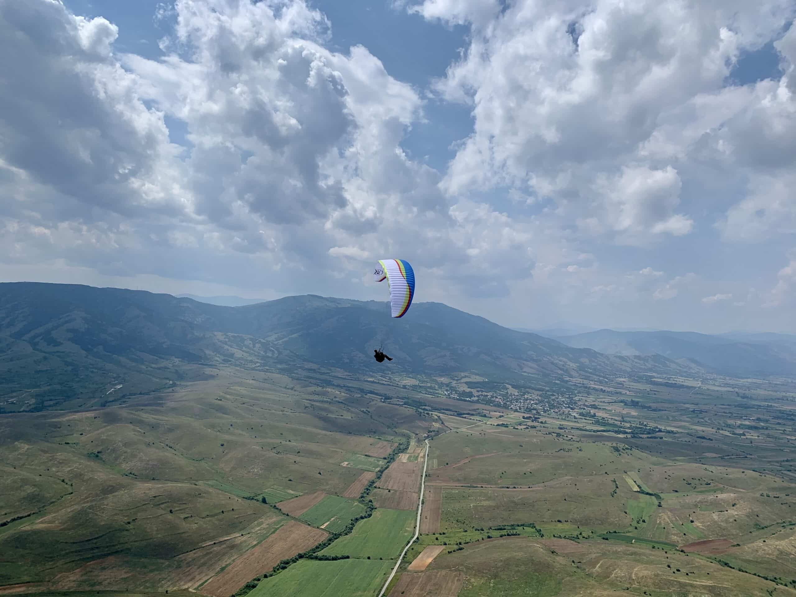
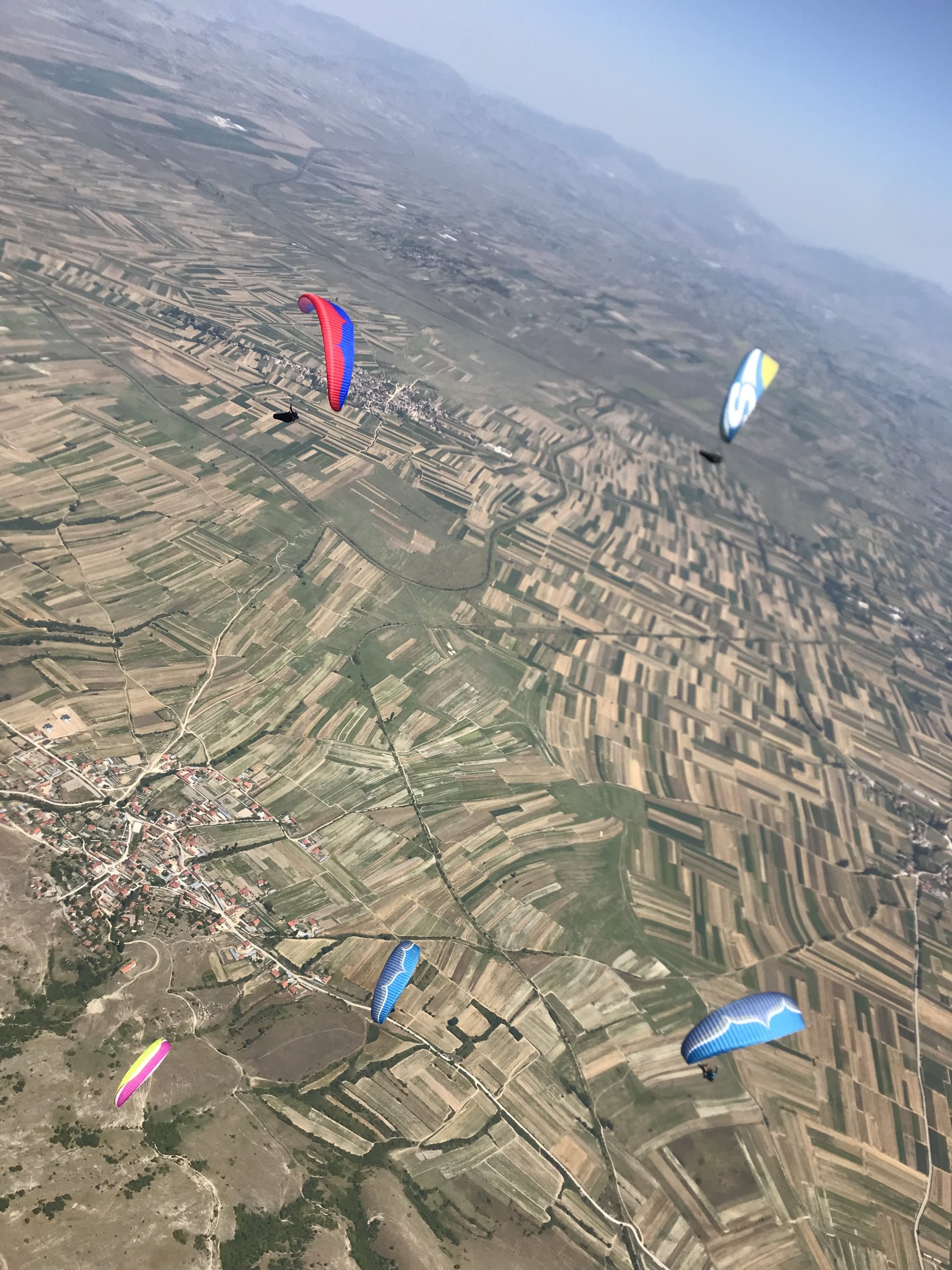
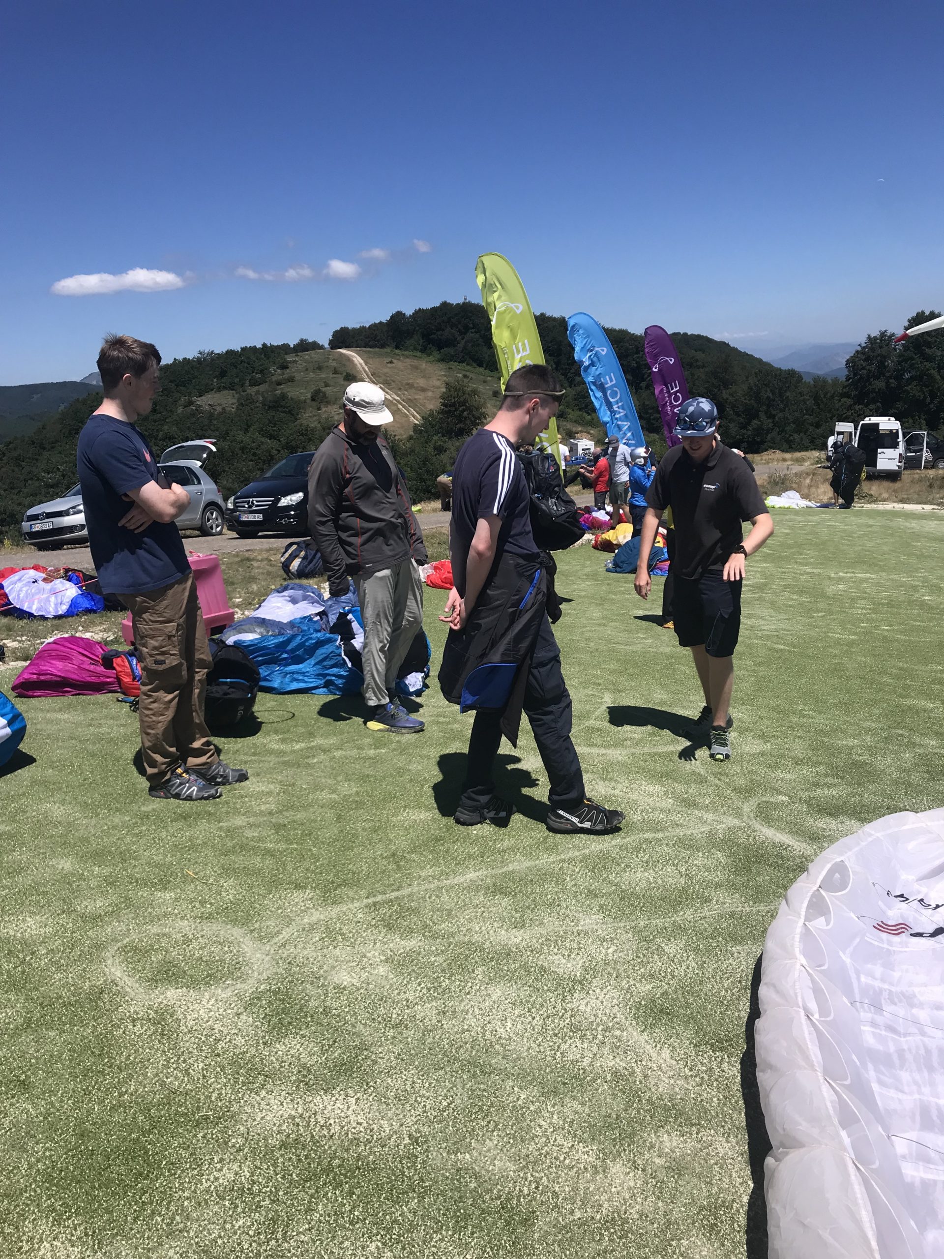
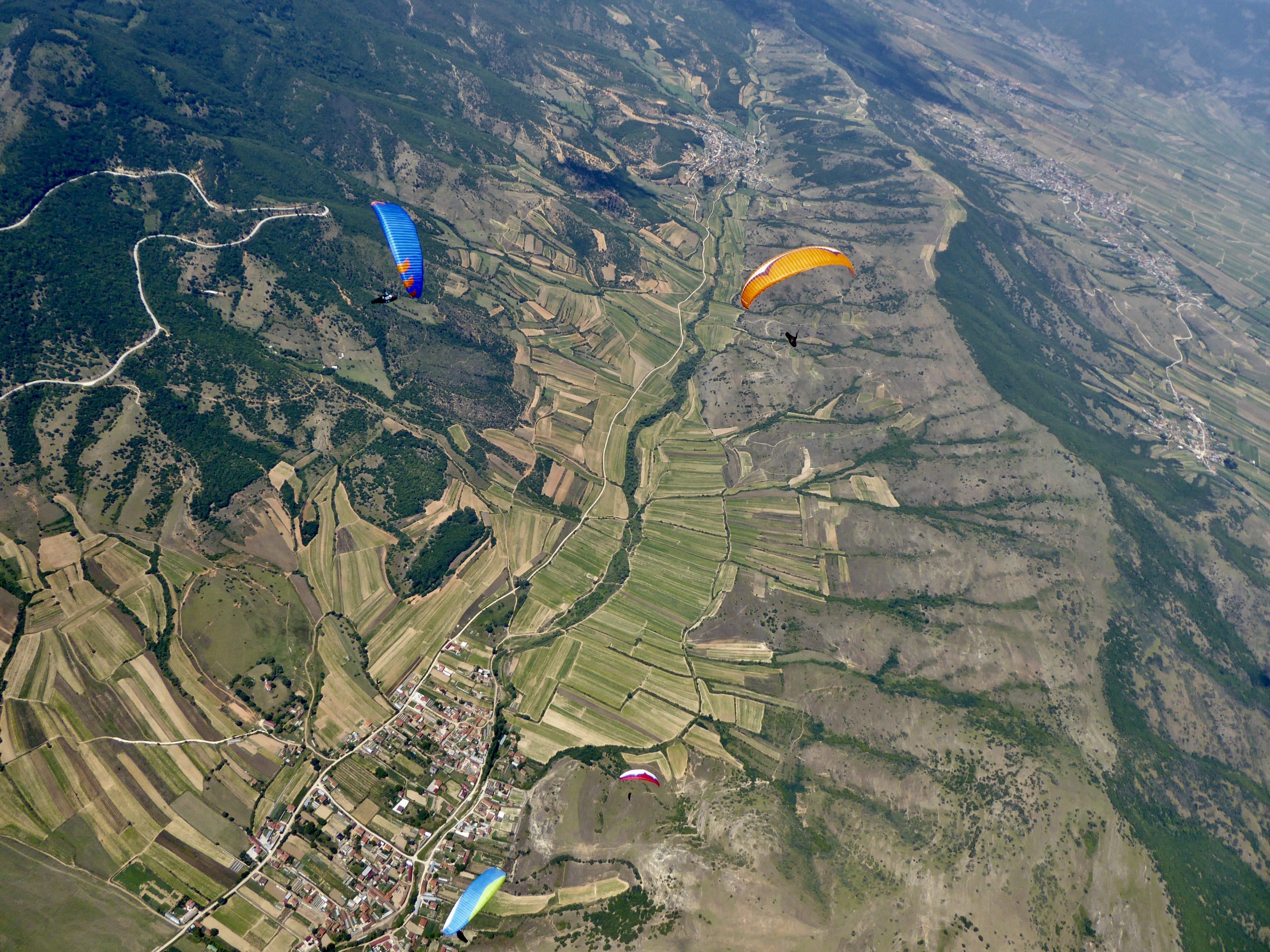
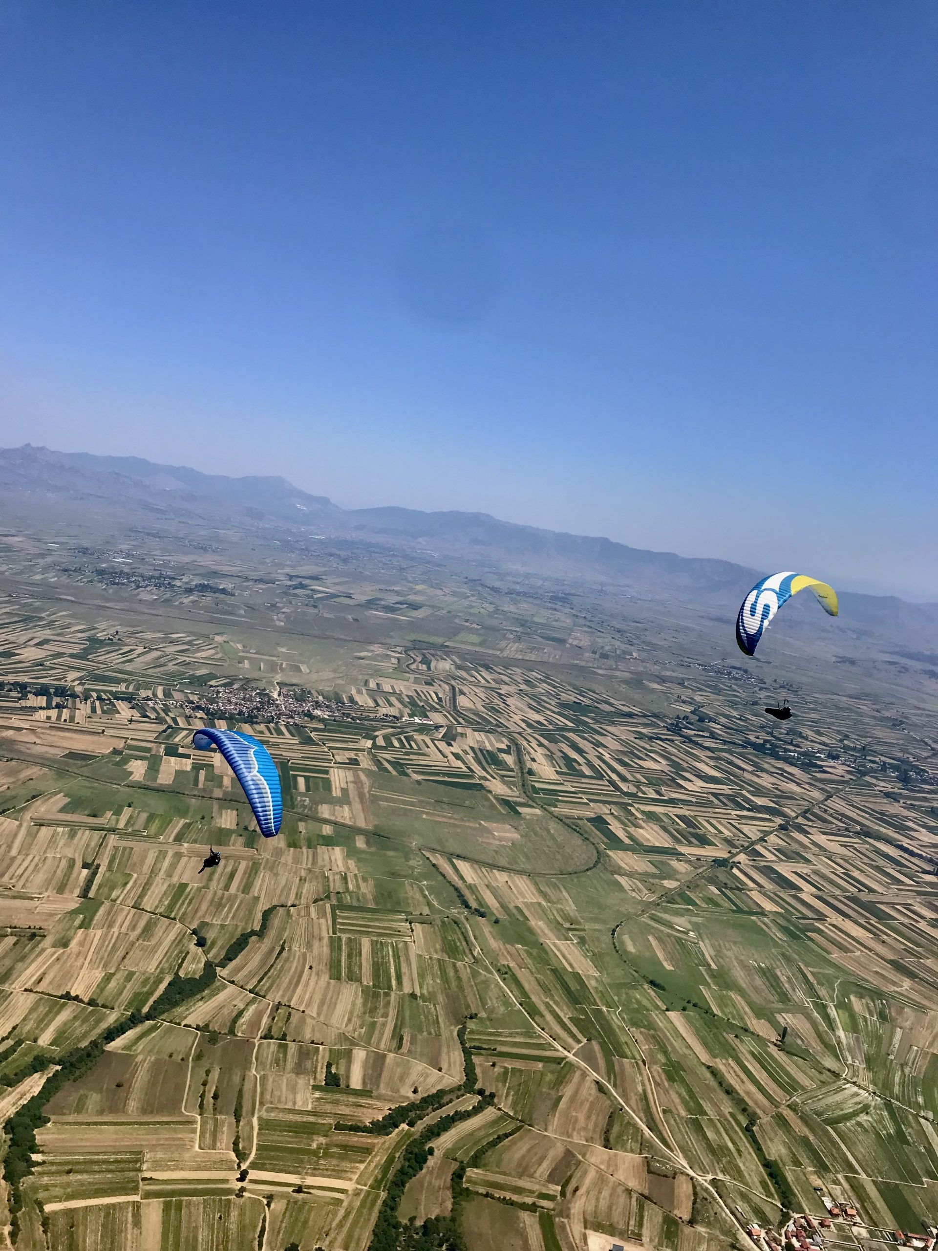
Search
Close this search box.

Krushevo, Macedonia XC

Join us for some exciting XC flying in the beautiful region of Macedonia, with fascinating mountains and large flat valleys to play around and improve your XC flying.

  • Basic XC 7 to 12 July 2024
  • XC 1 – 15 to 22 July 2024

Flatlands of Macedonia

Situated at an altitude of 1350m, Krushevo is the highest town in the Balkans, 159 km from the capital Skopje, 55 km from Bitola, 32 km from Prilep, and only 68 km from the Macedonian – Greek crossing border “Medzitlia – Niki”.

Main takeoff places are East and West starts with lovely grassy launch. . With massive flatlands to fly and safely land in, Suitable for all pilot levels. The valley has excellent road connectivity.

On a typical day, you will be driven to the takeoff, where you’ll be given a team brief/de-brief. Once everyone is ready we’ll set a task to fly and then take off together. We will fly as far as possible under radio guidance, as a team. One of The Flight Park’s guides will be with the first group and the other guides will be positioned throughout the pack, with the last one bringing up the rear. Throughout the course, the guides will switch positions through the pack so that you can get the most out of each one’s flying and guiding styles.

Travel

You can fly into Skopje or Thessaloniki airport, from there we can organise a taxi to pick you up or you can catch a Local Bus to Krusevo

Accommodation

Krushevo is a small town with many Hotels, Air BnB's, and home stays in town. Most of these places are 5 min from the town centre, which will be our morning meeting point.

Fees & Dates

Guiding Fees : £600/£800 includes XC guidance, and daily mountain transport Logistic

Duration : 6/8 flying days

Guide : Josh Sanderson

Flying Sites

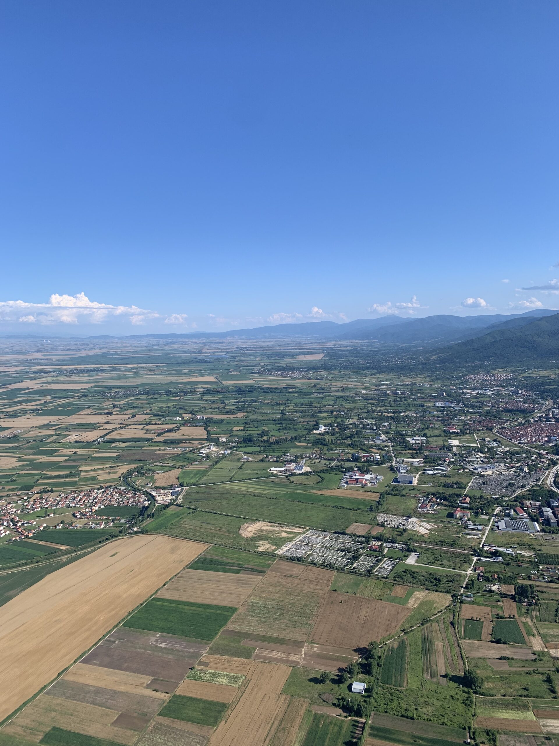
East Start 1420m ASL (41.340802, 21.256547)

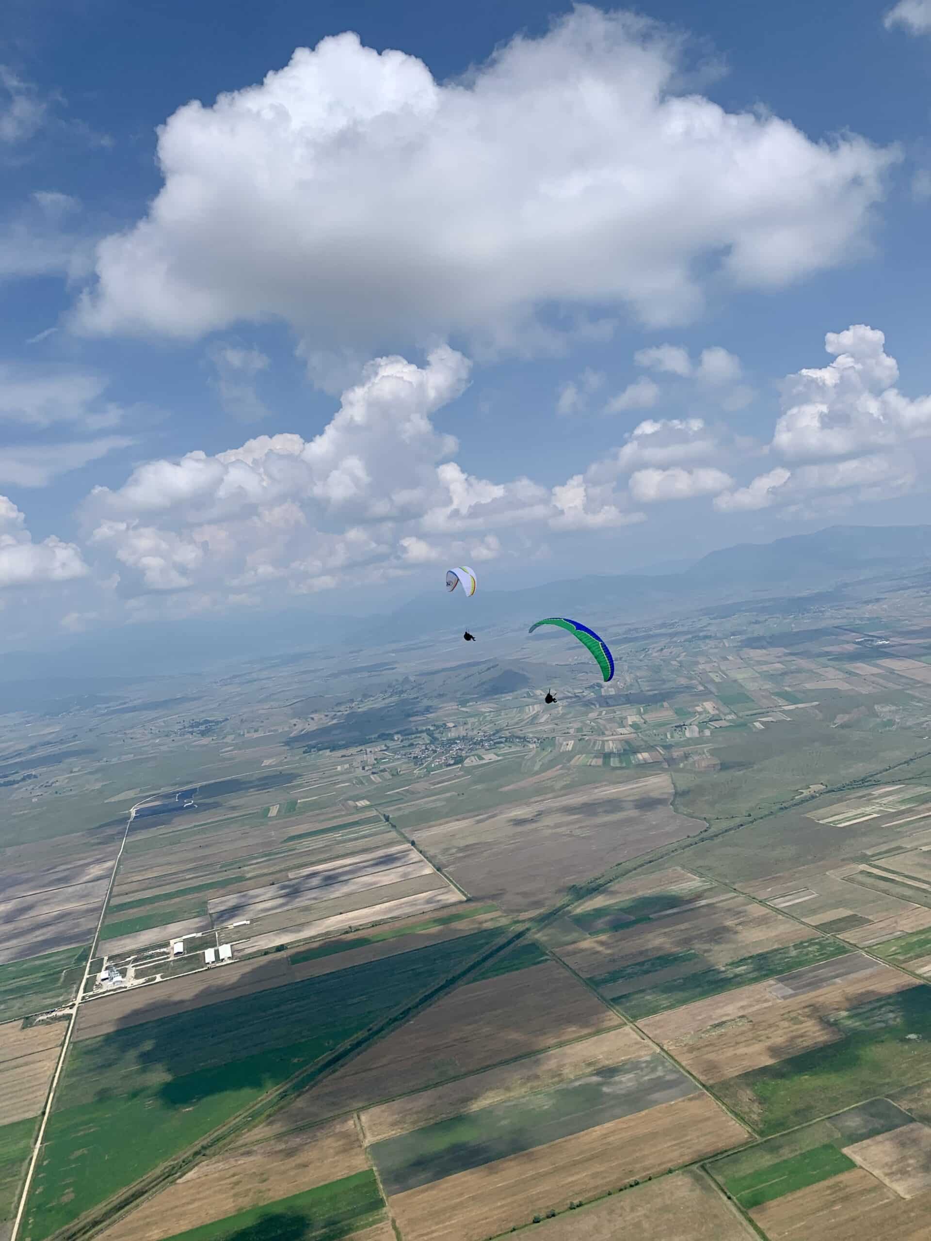
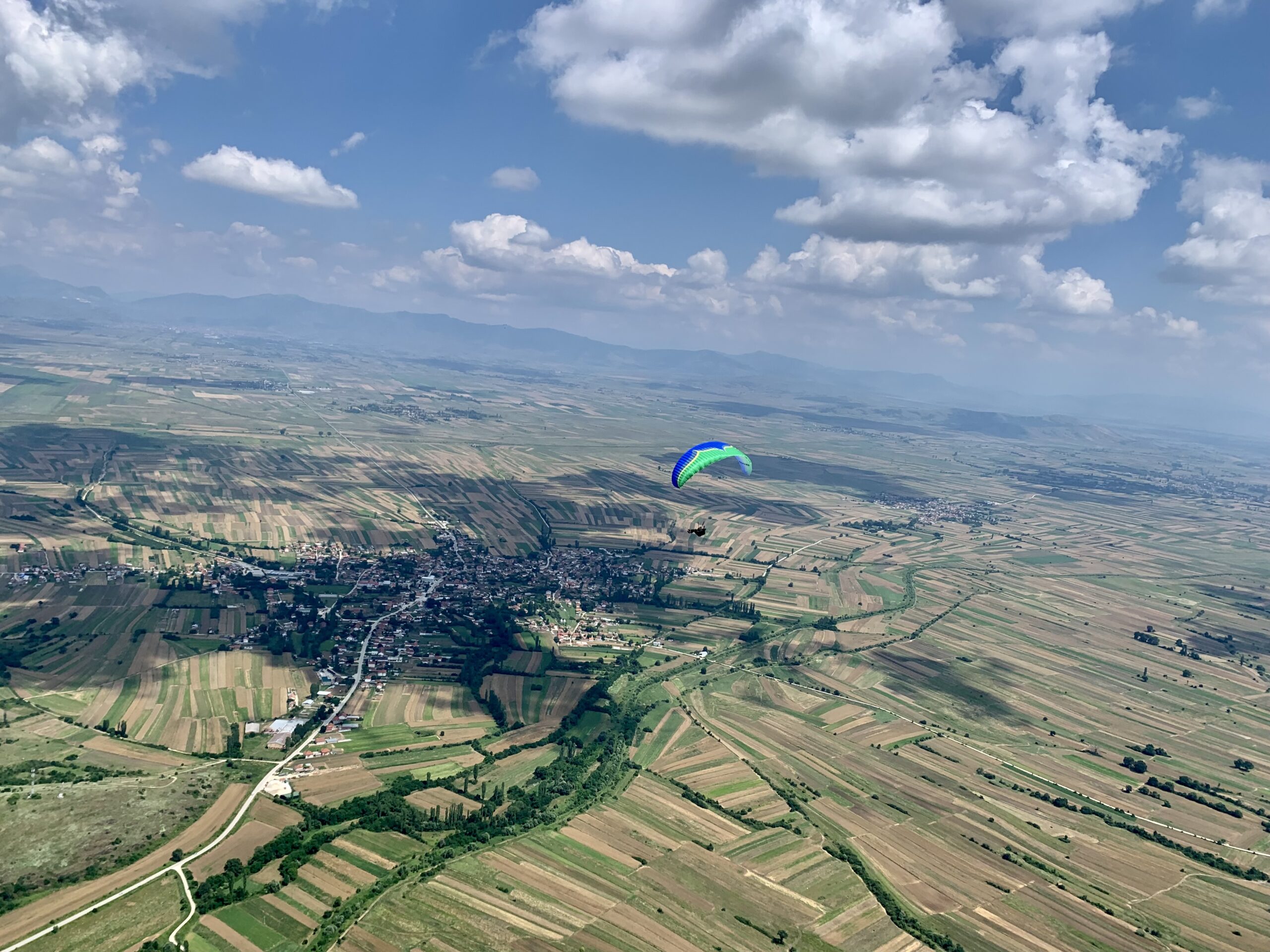
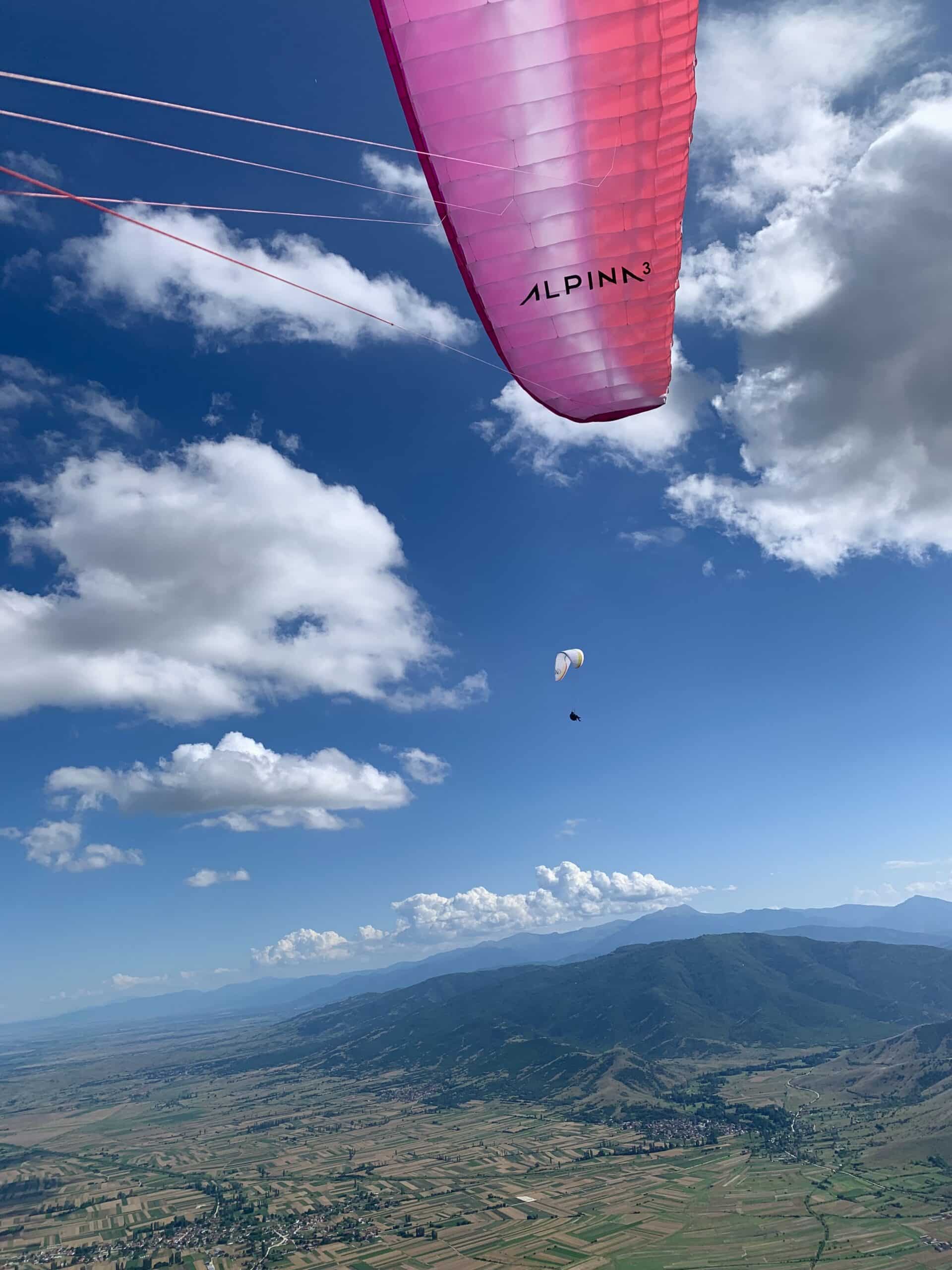
It is facing east – northeast towards Pelagonia Valley. It is several minutes drive from the town and an asphalt road goes almost through the launch. When you take the paraglider out from the car, it is already on the place where it should be open. Lazy pilots will love this launch. East Start is a grassy shallow slope bordered by big trees from the South, which offers thick shadows in sunny days.

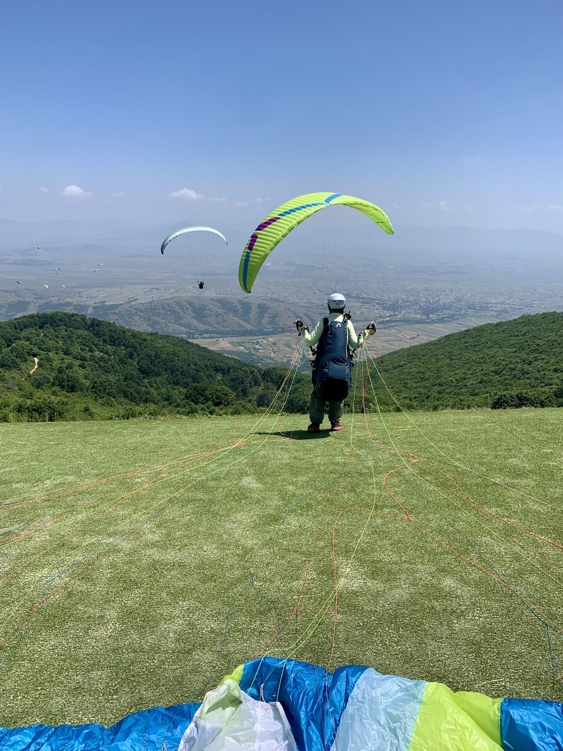
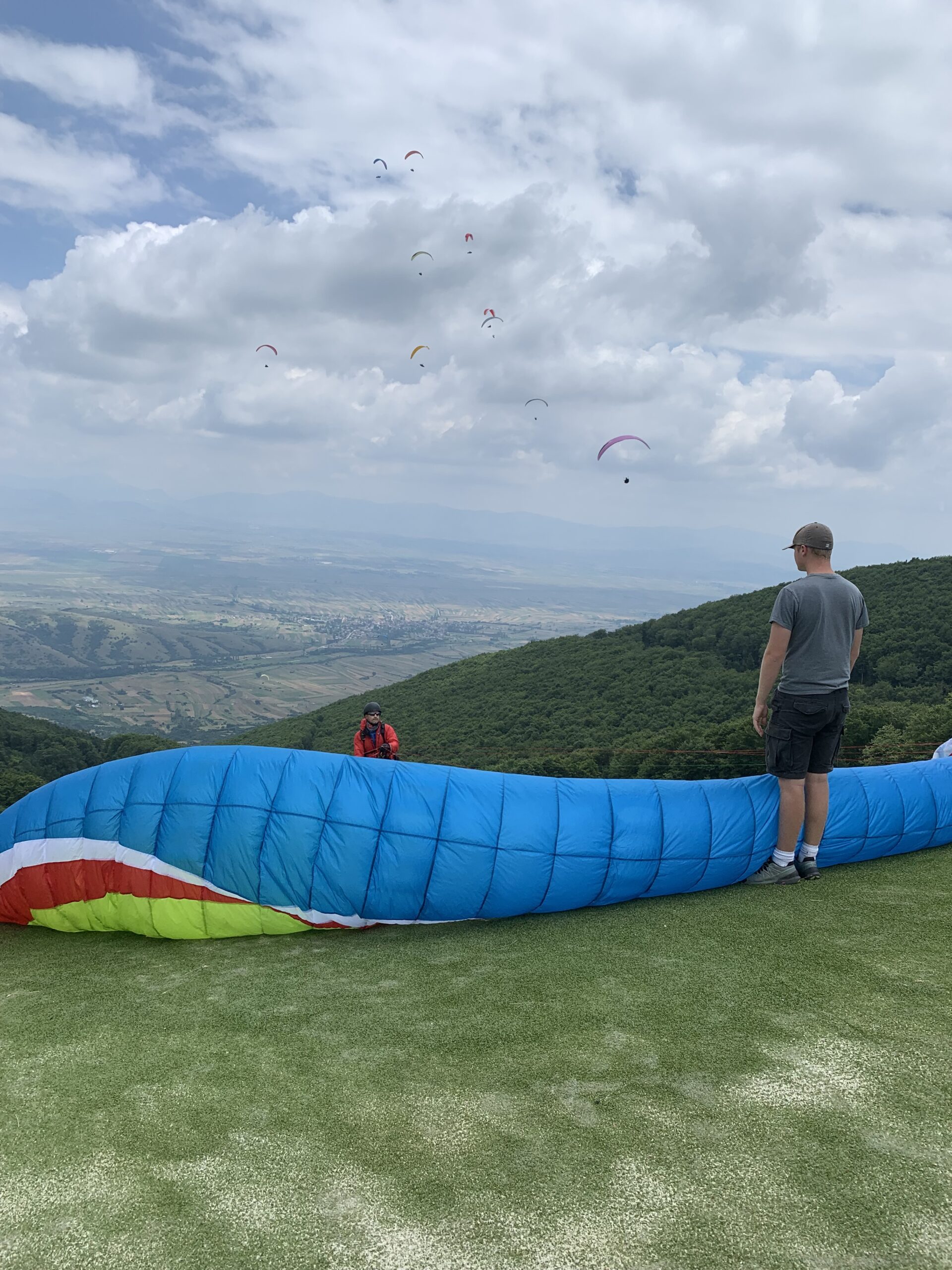
West Start 1440m ASL

It’s a secondary smaller take off place facing west – southwest, it is 500 meters away from East Start. Cars, again, can be driven right up to the launch. The same cross-country flights can be done from here. Landing fields under this launch are smaller than on the other side of mountain where there are very large fields, mostly grassy.

Trip Checklist

01. Flying Kit

We expect that you will arrive with a functional paraglider, harness, reserve parachute, helmet, radio and Vario/GPS.

We recommend you bring along your own trackers (Inreach / Spots). If you don’t have one then we can provide you with one, but do let us know before the course.

The weather is nice and warm, good enough to fly in shorts, but it will be cold at cloud base so you will need a down jacket and gloves.

02. Insurance

It is essential that you have travel insurance which covers you in respect of the following:

  1. Medical Treatment
  2. Medical Repatriation
  3. Search & Rescue by helicopter

We will hand out a central grab sheet form, where we would like all pilots to fill in their emergency contact details, insurance policy, and contact numbers.

This grab sheet also mirrors all the Risk Acceptance sign-offs that are a part of this document. Please give it a good read and make sure you understand and accept the risk involved.

Please be aware of your own physical and mental limits throughout the tour and on each flight. We aim to do a lot of flying and this can be tiring, especially in heat that you may not be used to, so please be realistic and fly within your comfort and skill levels, cut the flight plan early if you feel tired. We can always change our flight plan to suit what you feel happy dealing with.

Course Dates